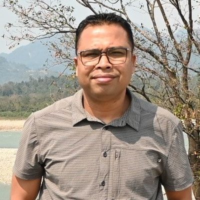
Arup Kumar Das has been working with Aaranyak since 2008. He is currently the Assistant Director and Head (I/C) of the Geo-Spatial Technology and Application Division (GTAD). He completed his M.Phil in Geography from Gauhati University, where he studied human–wildlife conflict. He is an expert in Remote Sensing, GIS, and GPS. He regularly conducts practical training for forest staff in Assam, Nagaland, Meghalaya, and Arunachal Pradesh to help them use these technologies in their work. His work includes studying land use and land cover changes, Fragmentation and land degradation, forest density, wildlife habitat (especially rhinos), wetlands, and river areas. He also does fieldwork across Assam. He supports the Assam Forest Department in preparing management plans for protected areas, landscape plans, and tiger conservation plans. He is also assisting the Wildlife Institute of India (WII) on a project to estimate saltwater crocodile populations in the Andaman and Nicobar Islands in 2026 mainly with mapping.
Contact Mr Arup Kumar Das
Member email addresses are not published. Use the contact form and chooseA specific member — your message is routed without exposing the address.
Send a message